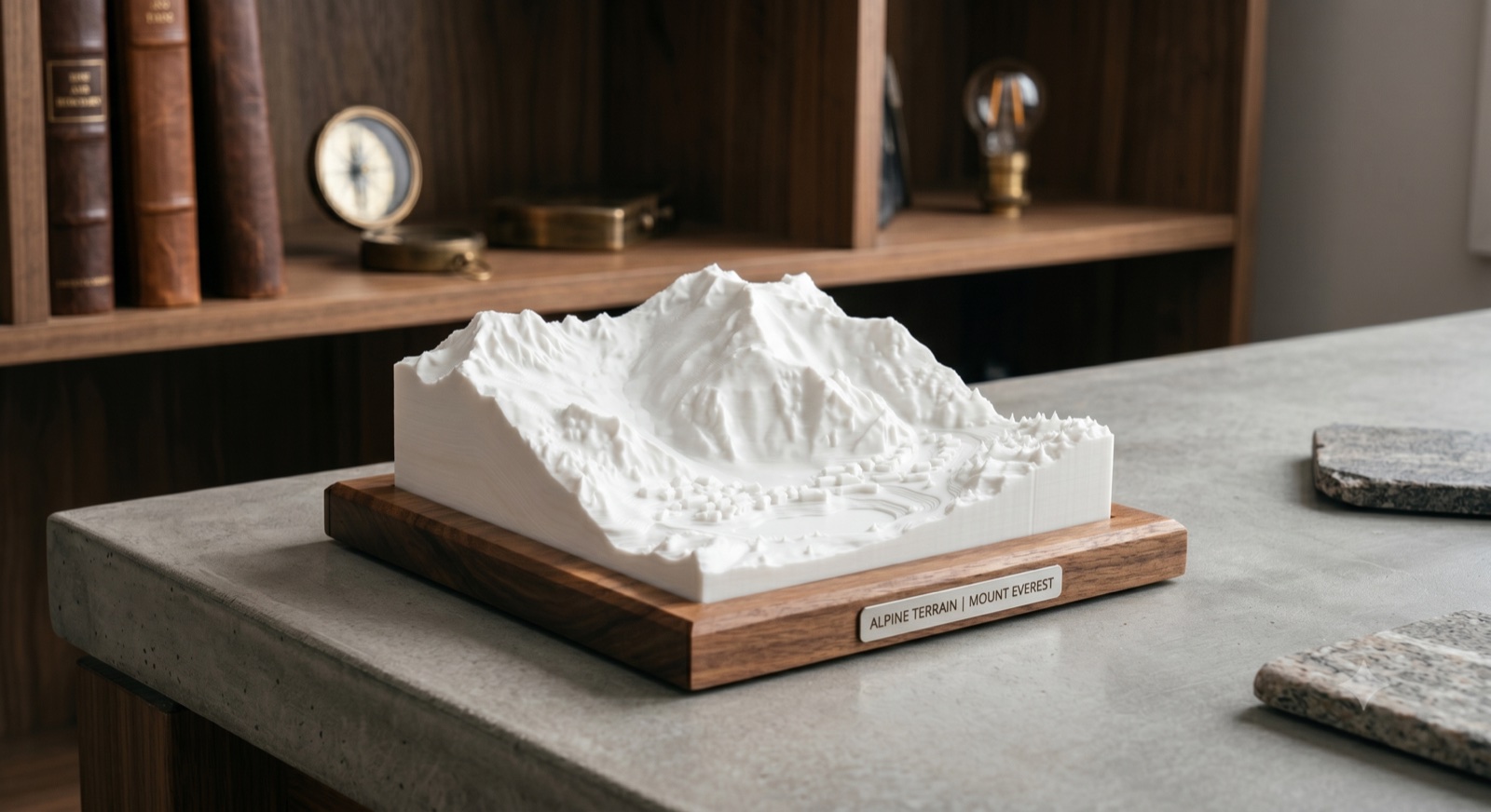
Elevation, made tangible
The places
that move you.
Turn any mountain, city, or trail into a print-ready 3D model — engineered to look as good on your shelf as the day you were there.
Turn any mountain, city, or trail into a print-ready 3D model — engineered to look as good on your shelf as the day you were there.
Three simple steps from map to model.
Search or browse curated presets. Pick any spot on Earth.
Adjust boundary, terrain filters, features, and style to match your vision.
Export STL, PLY, or OBJ. Split into puzzle pieces for large prints.
Everything you need to create stunning terrain models.
Ski, hike, and town — each tuned for different terrain and use cases.
Worldwide terrain at up to 30m resolution. High-res USGS data for the US.
Fantasy, terraced, relief medal, and more artistic styles to transform any landscape.
Topo, satellite, and OpenStreetMap textures baked directly into the model.
Auto-split large models into pieces for big prints that assemble seamlessly.
Lift towers, color-coded runs, and embossed trails bring mountains to life.
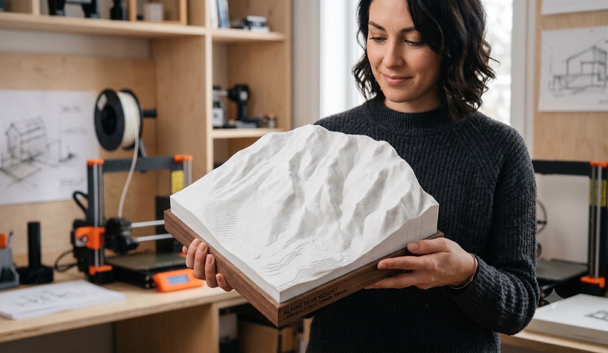
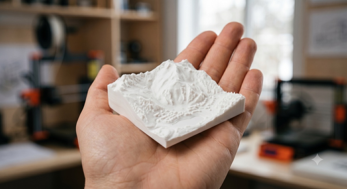
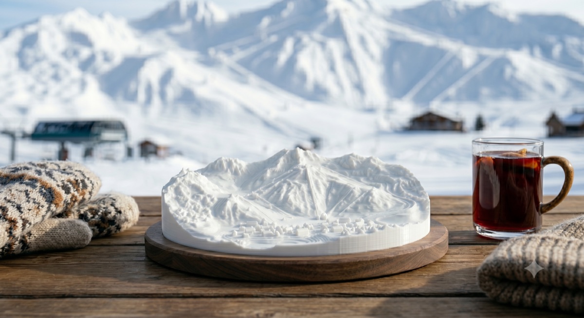
From resort-scale showpiece to pocket keepsake — every model is the real terrain, in your hands.
Relief started as a tool for turning terrain into 3D prints. It's becoming a platform where terrain enthusiasts, 3D printer operators, and content creators connect — where anyone can order a custom terrain print shipped to their door. Every line you've skied, every summit you've reached, every trail you've hiked, now on your shelf.
Help us build a marketplace connecting terrain lovers with 3D printing.
Want a custom terrain print shipped to you? Sign up and we'll let you know when fulfillment launches.
We're building a network of printer operators to fulfill terrain model orders. Join the waitlist.
We're building in the open and want your input — bugs, ideas, or just thoughts on where this should go.
Share Feedback